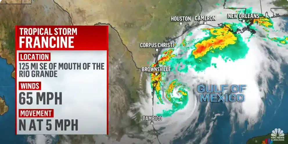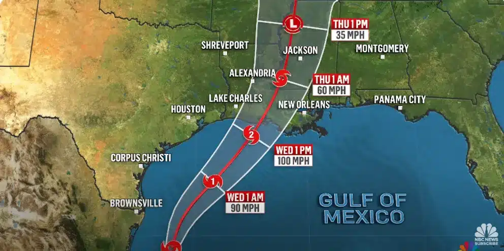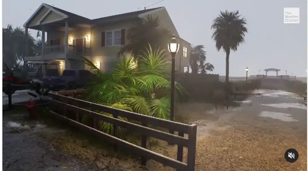
Coastal communities in Texas and Louisiana are on high alert as Tropical Storm Francine rapidly intensifies and approaches the U.S. coast. Meteorologists warn of potential hurricane-force winds, heavy rainfall, and dangerous storm surges, prompting urgent preparations along the Gulf Coast.
Francine’s Growing Power
As of early Tuesday, Francine was brewing in the Gulf of Mexico with sustained winds already reaching 65 miles per hour, according to the National Hurricane Center. Winds of this magnitude are strong enough to cause significant damage, such as downed tree limbs and flying debris, and if the storm continues to strengthen, it could bring hurricane-force winds exceeding 74 mph.


Timeline of Expected Landfall
Coastal areas are bracing for impact at various times throughout Tuesday and Wednesday:
- Port Isabel, Texas: Francine is expected to make landfall as early as 9 a.m. Tuesday, with storm surges likely around 11 a.m.
- Galveston, Texas: Winds will pick up by 7 p.m. Tuesday, potentially intensifying in the early hours of Wednesday.
- Port Arthur, Texas: Severe winds could start around 1 a.m. Wednesday, with more damage expected by 8 a.m.
- Grand Isle, Louisiana: Francine’s winds will hit around 7 a.m. Wednesday, followed by stronger forces by noon.
- Lake Charles, Louisiana: Residents should prepare for strong winds starting at 8 a.m. Wednesday, with continued impact throughout the morning.
Inland Impact
Francine’s effects will also be felt inland, with cities like Lafayette, Louisiana facing a 51% chance of damaging winds by 11 a.m. Wednesday. Winds are expected to increase by 2 p.m., and areas like Kenner, Alexandria, and Baton Rouge will experience similar conditions between noon and 5 p.m.
Preparations Underway
In Southern Louisiana, officials are racing to prepare for the storm’s impact. Local crews are clearing storm drains and distributing sandbags to prevent flooding, and residents have been urged to begin their own preparations. Mayor-President of Baton Rouge, Sharon Weston Broome, held a news conference on Monday to stress the importance of readiness.
“It’s crucial that all of us take this storm very seriously,” Broome said, urging residents to assemble disaster kits with enough food and supplies to last at least 72 hours.
Broome also advised that everyone in East Baton Rouge Parish have a plan in place and be ready to shelter in a sturdy structure during the storm. Her warnings come as Francine is expected to intensify into a Category 2 hurricane before making landfall on Wednesday.


Dangerous Storm Surge and Rainfall
The National Hurricane Center has issued further warnings about the potential for a life-threatening storm surge. Coastal areas could see surges up to 10 feet, while rainfall totals are predicted to reach 12 inches in some regions, leading to significant flooding risks.

Stay Vigilant
As Francine approaches, residents along the Gulf Coast, from Texas to Louisiana, are urged to monitor updates, secure their homes, and stay indoors once the storm arrives. Whether you’re on the coastline or further inland, this storm demands close attention and caution.
Tropical Storm Francine is rapidly approaching hurricane strength, and with her trajectory set, it’s crucial for everyone in the storm’s path to take appropriate precautions. Francine means business, and she’s bringing powerful winds and heavy rains that will require all hands on deck to weather the storm safely.


